What are coordinates?
How do you define a location? How do you mention the location of your house to your friend who is visiting your place for the first time?
Normally in those scenarios, we take help from some landmark and tell him to move a certain distance from that landmark. It acts as a reference point that is used as a medium to describe the position of objects around it. It is also important how you measure the distance.
Measuring distance can simply be done by joining them with a straight line and then measuring it but multiple points may not lie on the same line but lie in the same plane.
Our world is 3 dimensional hence multiple points rarely lie on the same plane but here the study is done for 2-dimensional plane only.
Why are coordinates needed?
It is one of the branches of mathematics that deals with the measurement of relative positions of objects. Relative means there must be a reference point and measurement involves some standard techniques. The relative distance is always measured in two directions; vertical and horizontal. The horizontal distance is written at first and the vertical is written later. If there is a coordinate (2,6) it means that the given point is horizontally 2 units and vertically 6 units away from a reference point. The reference point is called the origin and it is the intersection of two lines that represent the vertical distance from the origin as 0 and the horizontal distance from the origin as 0. Those lines are known as the x-axis and y-axis respectively. Since the horizontal and vertical dimensions are perpendicular to each other. One question might pop up in your mind about why the directions chosen are horizontal and vertical and are required to be at 90 degrees. The answer is it is not necessary, there are other types of methods in which coordinate measurement is done differently. For example these types of coordinates system:
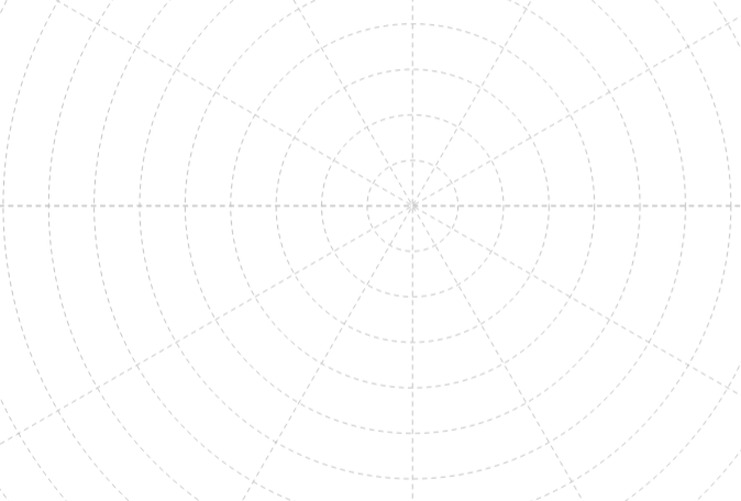

Polar coordinate system Isometric coordinate system